Use drone to improve Apple maps
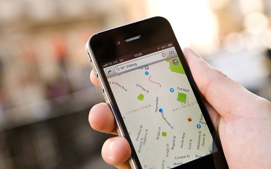
Apple is far behind Google Maps in terms of map applications. But now they are planning to use drones to become partners in the race and deliver the freshest data to their users.
The drone of the effort expended as well as Apple also view the interior to map application and announced that they had begun their work in developing the car navigation application. Bloomberg News claims indoor maps for iPhone great benefit in guiding the user to the museum and will allow air space. Google Maps now offers similar features, and Apple has developed over time Indoor.io Maps and said that it wants to help develop such a feature. Moreover, the company in 2017 to change lanes while driving for a better assistant and Maps applications has announced they will announce a new feature.
From becoming used in the iPhone’s Google Maps after 5 years, 2012 years in the map application on the market, Apple was criticized constantly because of the application of too much of the wrong address and POI information.